Geography Quiz Practice Test | Grade 8 Questions with Answers
Free Grade 8 Geography Quiz Practice Test! 20 NGSS‑aligned questions: Pacific Ocean, Andes Mountains, tectonic plates, Grand Canyon. Map skills, climate zones. 70% PASS score for middle school review!
Grade 8 Geography Practice Test Questions | NGSS Standards
Grade 8 geography practice test: largest ocean (Pacific), longest mountains (Andes), tectonic boundaries, map projections. 20 NGSS questions with detailed explanations for middle school social studies!
Get daily quizzes, practice tests, and free learning updates.
Join WhatsApp Channel8th Grade Geography Quiz Test | Middle School Geography Practice Test
20 Grade 8 geography questions aligned with NGSS standards. Physical features, human geography, map skills. 70% (14/20) to PASS!
Results
Outstanding geographical knowledge, Grade 8 student!
You’ve mastered physical features, tectonic processes, and map skills essential for high school geography.
Excellent preparation for state social studies assessments!
More Quizzes – Click Here.
Valuable learning opportunity!
Geography mastery requires map practice, tectonic understanding, and spatial reasoning.
Review explanations carefully — you’ll conquer it next time!
More Quizzes – Click Here.


#1. How many Great Lakes share a border with the United States?
Explanation: Superior, Michigan, Huron, Erie, Ontario = 21% world’s fresh water.
#2. Which ocean covers approximately 30% of Earth’s surface area?
Explanation: Pacific Ocean is largest and deepest, separating Americas from Asia/Australia.
#3. What is the capital of the state known as the “Sunshine State”?
Explanation: Florida’s capital; “Sunshine State” nickname for weather.
#4. Which line of latitude marks the Arctic Circle?
Explanation: 66.5°N; 24‑hour sunlight on summer solstice.
#5. Which tectonic process creates new oceanic crust?
Explanation: Mid-ocean ridges push plates apart (divergent).
#6. Which U.S. state has the longest coastline?
Explanation: Alaska’s 6,640 miles exceed all other states combined.
#7. What type of map shows elevation using contour lines?
Explanation: Contour lines connect equal elevation points.
#8. Which climate zone receives least annual precipitation?
Explanation: Deserts <10 inches/year; adaptations like cacti, camels.
#9. The Ring of Fire circles which ocean basin?
Explanation: 75% world’s volcanoes; plate boundary zone.
#10. The equator divides Earth into which hemispheres?
Explanation: Equator (0° latitude) separates Northern & Southern Hemispheres.
#11. The Grand Canyon was primarily formed by erosion from which river?
Explanation: Colorado River carved 277‑mile canyon over 6 million years.
#12. Which U.S. national park contains Old Faithful geyser?
Explanation: World’s first national park (1872); supervolcano caldera.
#13. What physical feature separates Europe from Asia in Russia?
Explanation: Ural Mountains traditional continental boundary.
#14. Which map projection preserves accurate shapes but distorts area near poles?
Explanation: Polar map preserves shapes from North Pole view.
#15. Which river forms part of the U.S.-Mexico border?
Explanation: Rio Grande = 1,896 miles along Texas-New Mexico-Mexico.
#16. Which tectonic boundary features sliding plates creating earthquakes?
Explanation: Transform faults like San Andreas cause major earthquakes (California).
#17. What is the flattest U.S. state by elevation change?
Explanation: Florida elevation range = 345 feet (least variation).
#18. What is the deepest point in Earth’s oceans?
Explanation: Challenger Deep = 36,000 ft (~11km) in Pacific.
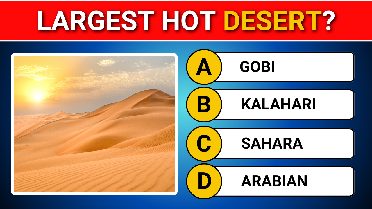
#19. What is the largest hot desert in the world?
Explanation: Sahara covers 9.2 million sq km across North Africa.
#20. What is the world’s longest mountain range system?
Explanation: Andes extend 4,300 miles along South America’s western coast.
More Quizzes –
| General Knowledge Grade 7 | Click Here |
| Science Quiz Grade 12 | Click Here |
| English Grammar Grade 5 | Click Here |